Our hiking tips
Compiled by our team just for you: a
selection of routes and paths in the Interlaken hiking region.
We’d be pleased to provide you with more
tips, so that you can experience the region by foot.


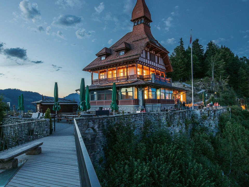
Interlaken Harder Kulm, Harderbahn funicular railway station
Harder Kulm - Hardergrat - Wanniwald - Elfenweg - Harder Kulm
Curious tales are told about Interlaken’s local mountain. When hiking the Harder Kulm circular trail, prepare to come across any number of places where strange and eerie things happen.
For the most part, the wide panoramic route takes hikers through pleasantly shady mountain forests, though it also offers fantastic views of Lake Thun and Lake Brienz, the Bödeli (a strip of land between the two lakes) and the majestic peaks of the Eiger, the Mönch and the Jungfrau. From the mountain restaurant, the route joins an initially rocky, but wide mountain path on a relatively steep gradient to the Hardergrat ridge. This is followed by a leisurely descent along a narrow path to Wanniwald forest, on to the Elfenweg path and then back to the Harder Kulm.
Difficulty: Category T1 (standard hike)

Grütschalp, cable car mountain station
Grütschalp - Winteregg - Mürren
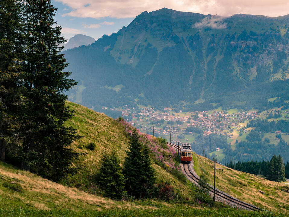
From Grütschalp cable car station, hikers follow a wide gravel path on a steady incline up to the edge of the tree line and on into magnificent forest. They are then treated to a heady view of the Alpine pastures and the majestic peaks of the Eiger, Mönch and Jungfrau mountains on the opposite side of the valley.
The long, meandering village of Wengen is visible at the foot of the Männlichen mountain chain to the east. The wide Alpine path leads down into a small shady valley which is home to the Staubbach stream. A few hundred metres further down, the stream ends in a powerful waterfall that cascades over the ridge. The route then takes hikers through a secluded stretch of woodland before rubbing shoulders with Winteregg station. From here, the route runs more or less in parallel to the railway tracks all the way to the village of Mürren.
Difficulty: Category T1 (standard hike)


Interlaken/Unterseen, Untere Gasse
Interlaken/Unterseen - Aare - Ruine Weissenau - Unteres Stadtfeld - Neuhaus - Sundlauenen - Sankt Beatus Höhlen - Balmholz - Merligen
We depart from the historical town of Unterseen, passing through modern residential neighbourhoods on the banks of the Aare before hiking to the mouth of the Aare at Lake Thun (right next to Weissenau Castle). We follow the banks of this river delta past a nature reserve all the way to the mouth of the Lombach river near Neuhaus. We continue on to the foot of the Niederhorn before reaching Sundlauenen bay, a popular destination for day trips. After crossing the Sundlauenen delta, we follow an incline up to Thunerseestrasse and cross it to reach the start of the impressive set of steps named after Oskar Luk, the ‘LUK-Treppe’. The pilgrim’s path carved out of the rock takes us to the entrance of the famous St. Beatus Caves in which St Beatus is said to have lived. The route continues mainly through woodland. The Widmannsplatz observation platform provides an opportunity for us to catch our breath. On the way to Merligen, we cross the Thunersee–Beatenberg Funicular and soon after there is stopping place to decide whether to continue hiking along the right bank of the river or take a boat to Spiez.
Difficulty: Category T2 (mountain hike)


Brienz, boat dock
Brienz - Tracht - Kienholz - Altes Aaregg - Aare - Engi - Hotel Giessbach - Iseltwald - Sengg - Bönigen - Interlaken/Unterseen
This alternative route on the southern bank of Lake Brienz was incorporated into the Camino de Santiago (or Jakobswege) network of pilgrims’ ways to allow people to still reach Interlaken on foot when the main route is closed in winter. It is rare for this route to also be closed in winter, making it a hugely popular – not to mention beautiful – hiking option (including in summer).
We depart from Brienz – famous for its wood carvings – and follow the banks of the lake via the former mouth of the Aare river to its current location. After taking the underpass to cross the motorway, we join a footpath that leads into the mountains. After reaching Engi, we come to a popular destination, the Giessbach Falls, before descending to the lake once more. Once there, we join a secluded hiking path that follows the contours of the lake via Iseltwald, Bönigen and Interlaken to Unterseen, the stopover point for this hiking section.
Difficulty: Category T1 (standard hike)
Lombachalp, Lägerstutz
Lombachalp/Lägerstutz - Möser - Widegg - Winterröscht - Lombachalp
The largest moor in Switzerland links the municipality of Habkern to the village of Sörenberg. One of the most attractive moorland areas – in a region characterised by its beauty – is the Schwarzbach-Möser nature reserve.
A leisurely hike that starts and ends in the Lombachalp pass leads to this unique, idyllic area at the foot of the Hohgant mountain. The route follows virtually flat trails past animal enclosures all the way to the Schwarzbach-Möser nature reserve. After stopping for a picnic on the moor, the hike continues through natural surroundings. A larger barbecue area offers fantastic views of the Eiger, Mönch and Jungfrau. A gravel path on a gentle incline winds through Alpine pastures and forests up to Widegg. After that, a narrow path follows the eastern face of Bolberg mountain to Lägerstutz, a restaurant. For the final stage, hikers follow Alpine trails with arresting views back to the Lombachalp pass.
Difficulty: Category T1 (standard hike)


